Late Season Fastpacking in the Trinity Alps
By the time December rolls around most people have forgotten about the high country and foot travel in the deeper wilderness areas of Northern California. Skis are being waxed and powder dreams are stirring. At the end of 2020 the mountains were nearly free of snow and I had fastpacking on my mind. The good news is that my buddy Chris McGovern almost never says no to a fastpacking mission even with sub freezing temperatures, inclement weather and short notice.
The Trinity Alps Wilderness is vast. It’s one of the larger contiguous wilderness areas in the lower 48. Much of the visitation (and almost all of my personal visitation) is confined to the Eastern half of the range. This is where the biggest mountains, lakes, and sheer granite faces lie. They call much of this Eastern half the White Trinities. When you stand atop a summit in the “Whites” you gaze out to the West and take in stacks on stacks of ridge lines and river valleys as far as the eye can see. All of this is roadless and totally wild. What it lacks in grandeur it easily makes up for with remoteness, solitude and probability of a bigfoot sighting.
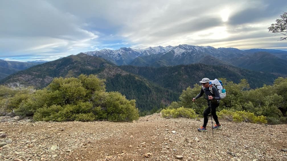
I asked Chris if he wanted to drive up for an end of the fall last fastpack hurrah. I told him my sights were set on edging into the “Greens”. I didn’t have great beta on the trail conditions, or maintenance status of the route. The forecast called for a chance of snow and rain with a bigger storm front pushing in late on our second day. Our cars were parked seven miles up a dirt road, so it was a bit of a roll of the dice if it would all go to plan and that we’d get tires back on pavement after the trip. Once we set feet to trail and got into a comfortable rhythm all the worries quickly slipped away.
On our first afternoon we ascended a ridge and dropped into the North Fork Trinity on a well used trail. We quickly made our way to Bob’s Farm trail where I knew chances were we’d find a less than maintained route, even though it is an established trail on the USFS maps. Lack of funding is a common theme and reason for the severe deterioration of our trails on federal public lands. Just FYI, this is something I very much want to see improved. We can easily lose 100s or 1000s of miles of trail in a matter of years. I strongly believe we will all be worse off and saddened to find many places we wish we had known about are no longer accessible. This won’t be the last you hear from me on this topic rest assured.
The North side of Bob’s farm is steep and in reasonably good condition. It began to snow on us and the light was waning. We crested the low gap in the ridge at 5,500ft and began the long descent into Rattlesnake Creek. The South side of Bob’s Farm Trail has all but disappeared , post fire brush engulfs the majority of the tread, but we were able to stay on track and connected with Rattlesnake Creek just as night fell. Since it was still fairly early as dusk came around 5pm, we donned headlamps and forged ahead a few more miles to where Rattlesnake Creek joins the North Fork of the Trinity River.
It was a cold and moody evening with rain spitting and temperatures in the high 30’s. Chris and I quickly set up our shelters and put on all the clothes we had. Dinner cooked, lost spoons miraculously found, bellies full, and a full value day behind us we settled in for a comfortably cool night in the woods.
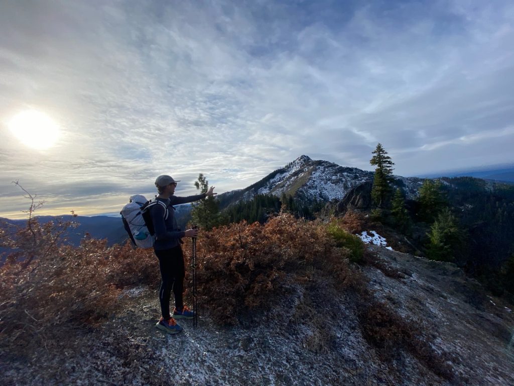
Waking up as the sky slowly changed hues, I had a feeling of complete disconnection from the outside world, many miles from the nearest road and likely many miles from the nearest human other than McGovern. I think that is part of the beauty of a late season fastpacking trip like this one. We were nearly guaranteed the highest level of solitude possible in today’s world. Its equal parts exhilarating and bewildering, cradled by this 5,000ft deep canyon and the constant babble of the North Fork Trinity.
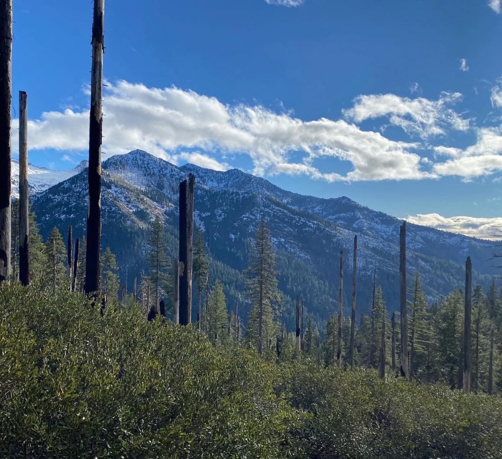
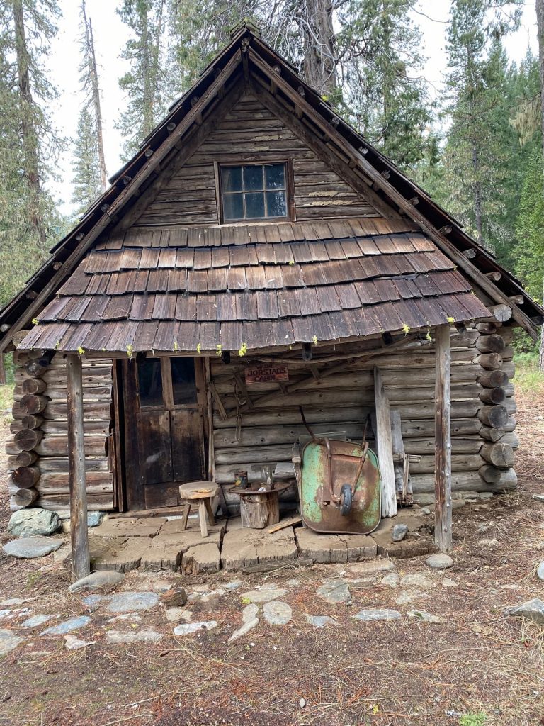
We knew that snow was coming, it was only a matter of time. I had hoped we might complete a larger loop including a long stretch along Limestone Ridge where we’d have loads of views both East and West for the better part of 10 miles. We found Morrison Cabin and the trail which climbed 2,500ft from canyon bottom to ridge top in less than three miles. This trail was easy enough to follow, but generally lacking tread and overgrown. The views began to open up making all the cuts and scrapes well worth it. Finding yet another less than maintained trail along the top of the ridge, complete with patchy early season snow, it was evident that the right call was to head back down into the larger river drainage to our East where I knew the trail would be in reasonable shape.
After 30 miles and 10,000ft of climbing over just more than 24 hours we arrived back to our vehicles and relative civilization, just as the snow began to fall in earnest. Yes this trip was quite impromptu, short, and outside of the norm. What I continue to realize more and more is that with the right gear and expectations one does not have to be limited to traditional times of year to visit the high country. Our packs were still light, even with heavier sleeping bags, I don’t think either of us carried more than 18lbs at any point. We could still easily do some jogging on the downhill and easier sections of trail. We experienced an amazing slice of country I had been wanting to get into for many years. Still, as I write this in late February I can’t help but daydream about long summer days, roaming free out in the Klamath Mountains.
This column was written by Wilderness Fastpacking Co-Founder Ryan Ghelfi